


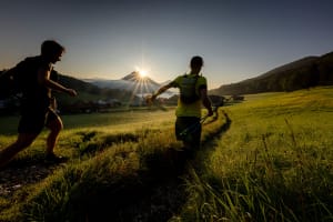


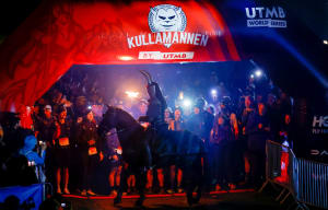


The most beautiful spots of the 100M race

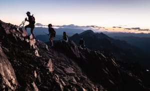
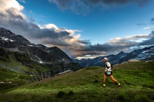
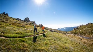
Haute Tinée and Mercantour
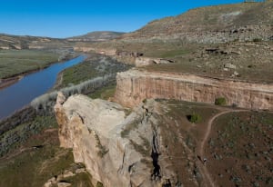
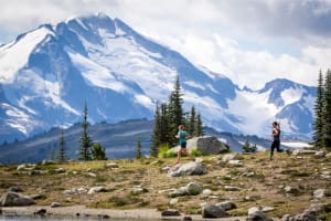
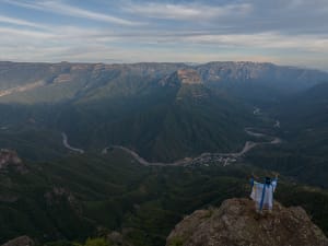
In the north of the County of Nice, the high valley of the Tinée gently leans against the Italian border. Saint-Etienne de Tinée, the true capital of the northern Mercantour massif, is surrounded by the Chemin de l'Energie, that runs alongside peaks more than 3000 m high.
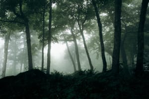
The crystalline mineral world and the altitude lakes remind us that there once were glaciers here. This historic path, built for water management, offers breathtaking panoramic views of the Alps. The slopes are home to one of the most beautifu larch forests in Europe.
The mountain villages
The village perchés and the other villages at the bottom of the valley have kept their traditional houses, with roofs made of lauze or shingles. Along the Tinée river, the churches and chapels built between the XII and the XVIII century offer a marvelous collection of Romanesque bell towers in the typical alpine style. Their "diamond point" silhouettes are of Lombard style.
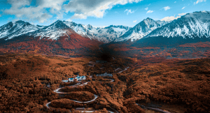
The slopes, converted into vast alpine pastures for cattle or plantation, are home to a multitude of barns and isolated hamlets. The pine trees forests and chestnut groves -with their several shades of green - match perfectly with the bright red of pelite rocks and the shades of gray of the limestones and gneiss hills. You will cross the villages of Roure, Saint-Sauveur-sur-Tinée, Rimplas and Bolline de Valdeblore.


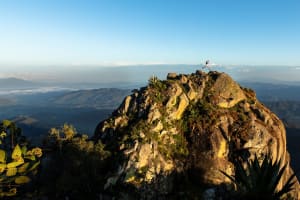
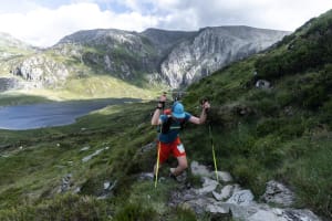
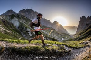
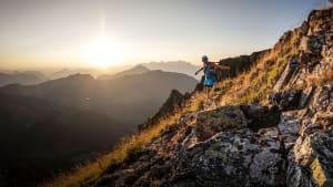
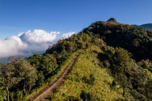
Crêtes des Préalpes
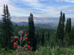
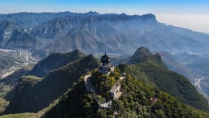
From the "Pleurs" valley, Valdeblore, the peaks of Caïre Gros and the Brec d'Utelle offer an itinerary that winds through bare ridges and spruce forests, with the shore of the Mediterranean at the horizon. The limestone rocks make the descent to the village of Utelle - a real eagle's nest above the Vésubie valley - very technical. Here's the transition between the influences of the mountain and Mediterranean landscape, with the many olive trees emphasizing this feeling.
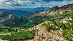
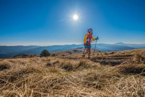
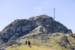
Nice middle-country
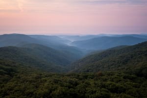
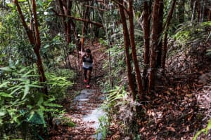
The atmosphere of the trails winding through Aleppo and maritime pines, hornbeams and olive trees, is home to colonies of cicadas. The course leads to Mount Ferion view point, the highest alpine ridge that that overlooks the Nice countryside and the Var valley. It is an impressive sentinel that dominates the Paillon valley, considered the gateway to the urban metropolis. At its feet are the cities of Levens, Aspremont, Tourettes-Levens. Here, the more modern housing style highlights the proximity of the French Riviera.


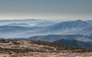
The foothills of the Mediterranean Sea
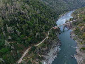
Crossing the river Paillon, the last small ascents to the Leuze and Vinaigrier mountains offer exceptional views of the beaches of the Riviera, 500 m below. The paths are scented with the fragrance of the Mediterranean plants. Like birds of prey flying over the shores, you will contemplate the fabulous harbor of Villefranche, main harbor of the county of Nice and the Duché de Savoie until the 18th century. The historical route - with its hills and forts overlooking Nice - have been strategic spots since Roman times.
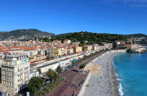
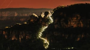
Nissa la bella
The descent leading to the capital of the Metropolis, finish line of the epic 100 Km race, leads to the Mont Alban square fort. The coastal trail offers an amazing view over the baie des Anges and through the maritime pines. After crossing the Lympia harbor - colored by the "pointus", traditional fishermen's boats - you will at last reach the finish line of the Promenade des Anglais.
